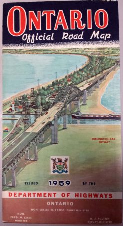
At the same store where I saw the old Niagara Falls panorama from 1913, I saw this old map.
They had a small area of the larger map that was specifically for the Niagara area.
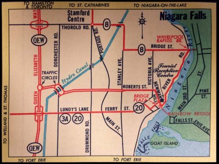
It’s interesting to see that there were traffic circles on the QEW at that point. What would become Highway 420 was built at that point, but was not called by that name. it wasn’t until into the late 60’s and early 70’s that it became Highway 420. I think Roberts St and Newman Hill are what you are on when you drive through the lights at Stanley Ave and drive down the hill to the Rainbow Bridge.